

Bernice Puahi Bishop Museum · CC BY-NC · GBIF · full resolution
Macaranga mappa
Pengua
As recorded: Macaranga mappa (L.) Müll.Arg.
Plantae › Tracheophyta › Magnoliopsida › Malpighiales › Euphorbiaceae
- Collected by
- Clarke, G.
- Collector number
- 79.246
- Date
- April 18, 1979
- Locality
- within Halepuaa Forest Reserve in the Puna District
- Island
- Hawaiʻi Island
- Region
- Hawaii, United States
- Coordinates
- 19.5167, -154.8500
- Elevation
- 49 m
- Identified by
- Herrmann, S.
- Record type
- Preserved specimen
Where it was collected
Still here: Macaranga mappa observed near this locality
This specimen was collected in 1979. Since 2000, iNaturalist observers have recorded 15 research-grade sightings in the wild within 25 km, most recently on 2026-01-15.
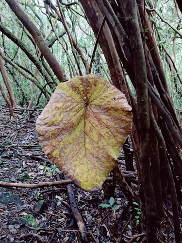
2026-01-15
Keaau, HI 96749, USA
(c) stefmatis, some rights reserved (CC BY-NC)
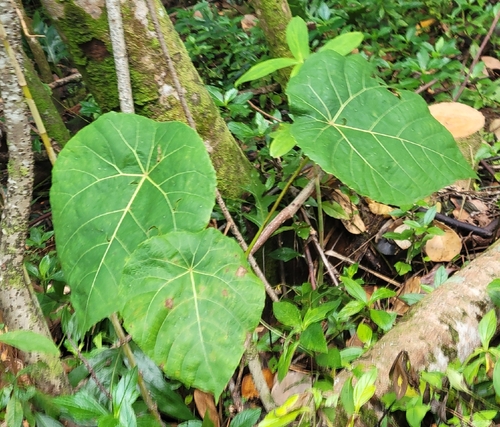
2026-01-06
United States
(c) yerbasanta, some rights reserved (CC BY-NC)
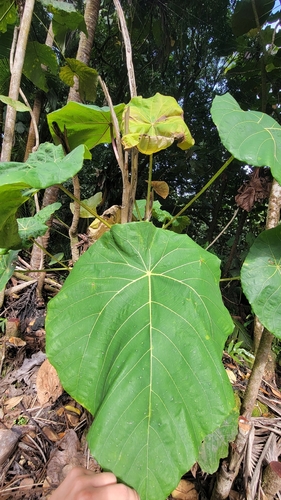
2026-01-06
United States
(c) yerbasanta, some rights reserved (CC BY-NC)
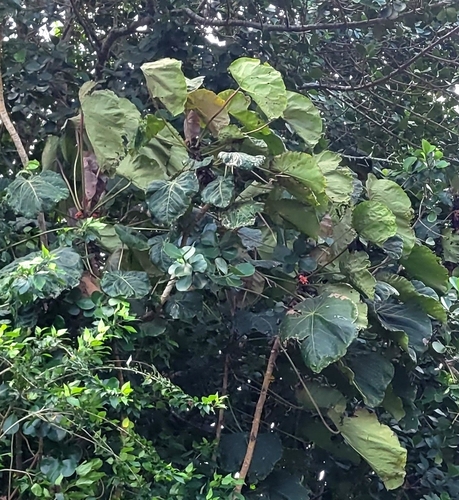
2026-01-06
United States
(c) yerbasanta, some rights reserved (CC BY-NC)
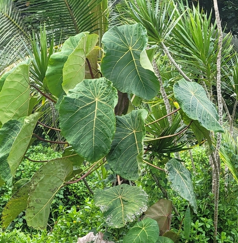
2026-01-06
United States
(c) yerbasanta, some rights reserved (CC BY-NC)
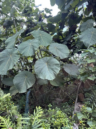
2025-10-03
Island of Hawaiʻi, Pahoa, HI, US
(c) h2obug, some rights reserved (CC BY-NC)
Observations and photos from iNaturalist, shown only when openly licensed.
Cite this specimen
Macaranga mappa. BISH 656364. Bernice Pauahi Bishop Museum, Honolulu. GBIF occurrence 5956260874. Accessed via explore.bishopmuseum.org/specimens/bish/656364.
Record sources
- GBIF occurrence 5956260874 ↗
- Data license: CC_BY_NC_4_0
- Last harvested October 26, 2026