
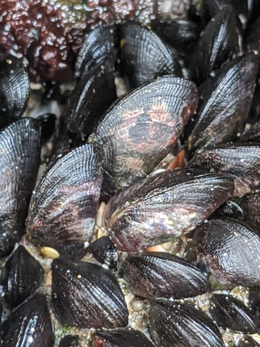
Brachidontes crebristriatus
Hawaiian Mussel
As recorded: Brachidontes crebristriatus (Conrad, 1837)
Animalia › Mollusca › Bivalvia › Mytilida › Mytilidae
- Collected by
- R.C. DeFelice and S.L. ColesStephen L. Coles →Ralph C. DeFelice →
- Locality
- Honolulu Harbor; Pier 41 Dry Dock
- Island
- Oʻahu
- Region
- United States
- Coordinates
- 21.3173, -157.8827
- Depth
- 6 m
- Record type
- Preserved specimen
Where it was collected
Still here: Brachidontes crebristriatus observed near this locality
Since 2000, iNaturalist observers have recorded 13 research-grade sightings in the wild within 25 km, most recently on 2026-09-05.
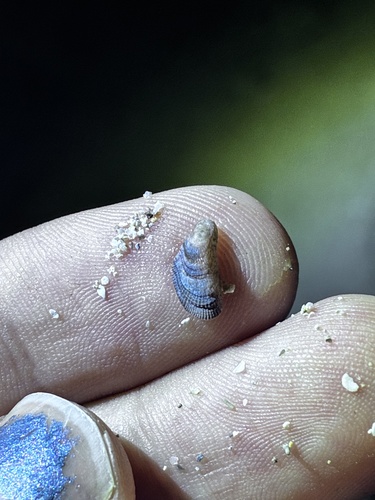
2026-09-05
Mamala Bay, Honolulu, HI, US
(c) jaminhein1215, some rights reserved (CC BY-NC)
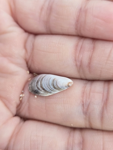
2026-08-16
Kalia Rd + Saratoga Rd, Honolulu, HI 96815, USA
(c) meepandmetal, some rights reserved (CC BY-NC)
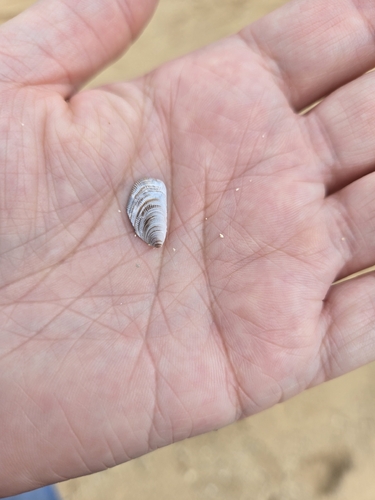
2026-08-16
Waikiki, Honolulu, HI 96815, USA
(c) meepandmetal, some rights reserved (CC BY-NC)
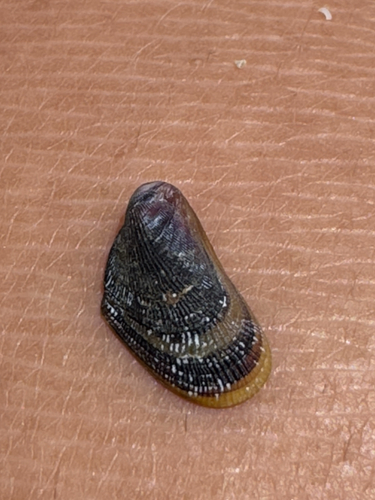
2026-05-10
Kalākaua Ave, Honolulu, HI, US
(c) jordan loftin, some rights reserved (CC BY-NC)
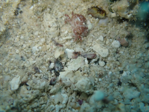
2026-02-22
Kailua, HI, USA
(c) Daniel Ward, some rights reserved (CC BY-NC)
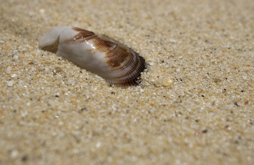
2025-05-26
Kailua, HI, USA
(c) showmeyourgenus, some rights reserved (CC BY-NC)
Observations and photos from iNaturalist, shown only when openly licensed.
Cite this specimen
Brachidontes crebristriatus. BPBM GBIF 4979265139. Bernice Pauahi Bishop Museum, Honolulu. GBIF occurrence 4979265139. Accessed via explore.bishopmuseum.org/specimens/mo/gbif-4979265139.
Record sources
- GBIF occurrence 4979265139 ↗
- Data license: CC_BY_4_0
- Last harvested October 26, 2026
Data-quality notes from GBIF
- Coordinates were rounded by GBIF
- Longitude sign looks reversed
Spot an error? Let the Malacology department know — corrections flow back to GBIF.